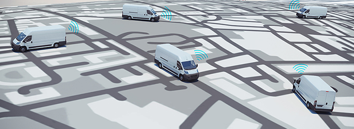
Geolocation consists not only in geographically locating a product; it also is a major tool for the logistics sector to improve customer experience.
The boom in e-commerce has forced companies to improve and make their processes more efficient, including the storage and tracking of goods on land, sea, and air in real time.
The Global Positioning System (GPS) is a radio navigation system that lets us place objects throughout the world with a near-perfect precision. To achieve this, it relies on several satellites and on the trilateration model. GPS receivers calculate the necessary longitude (meridian), latitude (parallel), and altitude values to place the object on an electronic map.
Even though satellite tracking systems were initially used by the logistics industry only to learn the location of their vehicles, implementing these solutions today improves reliability, helps control costs and efficiency, and offers other great advantages:
- It lets us see and control the merchandise, distribution platforms, and freight vehicles in real time.
- It yields essential information, such as speed and delivery times, so we can make informed decisions regarding unnecessary delays and down time.
- It helps reduce fuel waste by checking drivers respect the preestablished routes. It also helps lower the risk of theft and improper handling.
- It finds how close clients’ facilities are to the vehicles so we can plan routes better.
- It supplements the management of routes by creating recurrent reports on deliveries, improving the design of routes to increase the productivity.
- It makes sure vehicles are used only for business-related trips.
- It makes sure vehicles are used exclusively for company’s business.
- It gathers data from the field that lets us define the strategy, plans, and policies for risk management and work safety.
- It lets us keep drivers posted in real time about goods to pick up that were not contemplated when the route was planned.
- It makes it easier to plan service stops in gas stations offering lower prices, parking lots, and others.
- It helps us control driving habits that may put the integrity of people and goods at risk, such as speeding, or detect an increase in fuel use.
- It helps us monitor the temperature, particularly useful for cold chains.
Geolocation has also been used as a customizable sales and customer service tool. Thanks to geomarketing, web pages and apps now show information like ads, promotions, ratings, and reviews of stores, businesses, and corporations according to the location you are logging into from and according to the user’s needs and preferences.
The technology behind geolocation
The latest satellite tracking and monitoring technology focuses on two-way communication between the administrative staff and the vehicle fleet in real time. The satellite information processors for computers are long gone; the new processors are smaller and use less energy, which increases portability.
The Internet of Things (IoT) and Radio-Frequency Identification (RFID) are generally used in most of the current communication protocols because they make it easier for people and objects to interact over distances, minimizing mistakes and increasing productivity, safety, and mobility.
Current sensors help detect fuel levels, the vehicle’s mechanical and electrical status, the behavior of drivers, and the overall efficiency of the fleet in addition to stopping the engine in case of theft.
Moreover, some geolocation devices offer a function called geofence, which alerts when a vehicle leaves the established perimeter, updating its location in real time to assist tracking and recovery efforts.
Without a doubt, the logistics industry must keep up with these technologies if it aims to manage the increasing complexity of the supply chains. GPS tracking can help companies give a better customer service by not only delivering on time but also by solving – and even foreseeing – any problems that may arise along the way.
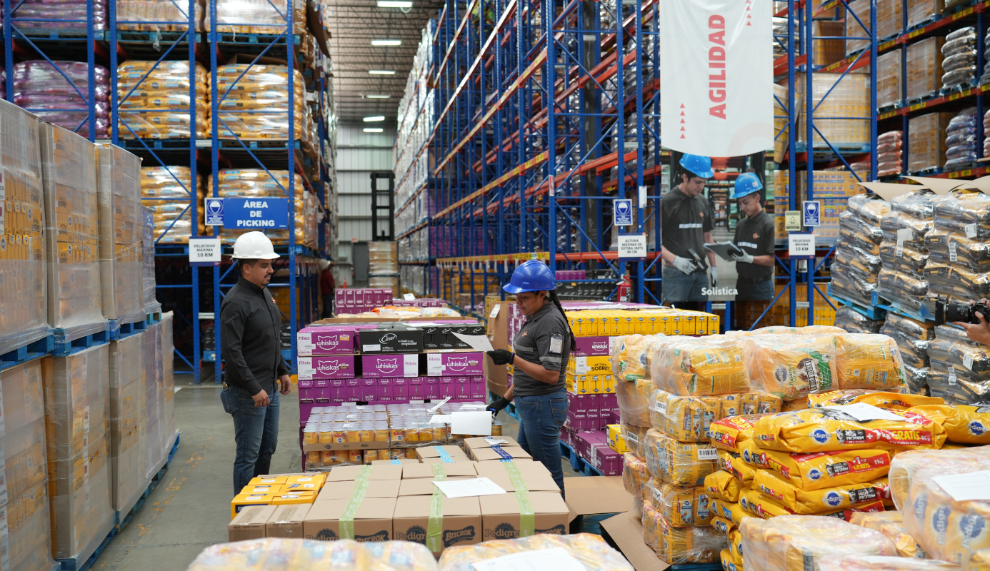
Logistics companies like Solistica have Transport Management Systems (TMS) that get data from GPS in real time, which lets us increase the productivity of vehicles on route and increase customer loyalty.
Using the benefits of geolocation to its advantage, Solistica has developed a Comprehensive Risk Management System (GRIS, for its acronym in Spanish) that takes into account the standards set by Mexico’s PGR, travel plans, risk zones, circulation schedules, monitoring, trackers, triggers, software, hybrid (satellite, cellular) communication, jammer detection, panic button, and automated engine stop, among others. This management system offers benefits such as automated self-protection for any violation to protocol, getting rid of the human factor, learning about theft attempts in real time, frustrating theft attempts, workday supervision, productivity analysis, vehicle preservation, and log center.
